My Route: accessing history through mapping
Devised by South Asian charity Sampad, the My Route was historical exploration of The Stratford Road in Birmingham.
Using historical data, we mapped the properties along this extensive road, showing the change in use since WW2.
My Role
Data gathering
I was brought in at the beginning of the project to work with volunteers to digitise the historical data relating to the road. using Letts Directories, we created a spreadsheet which arranged the property numbers by decade.
Adding content
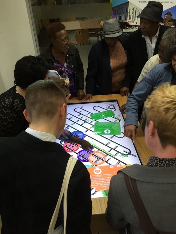
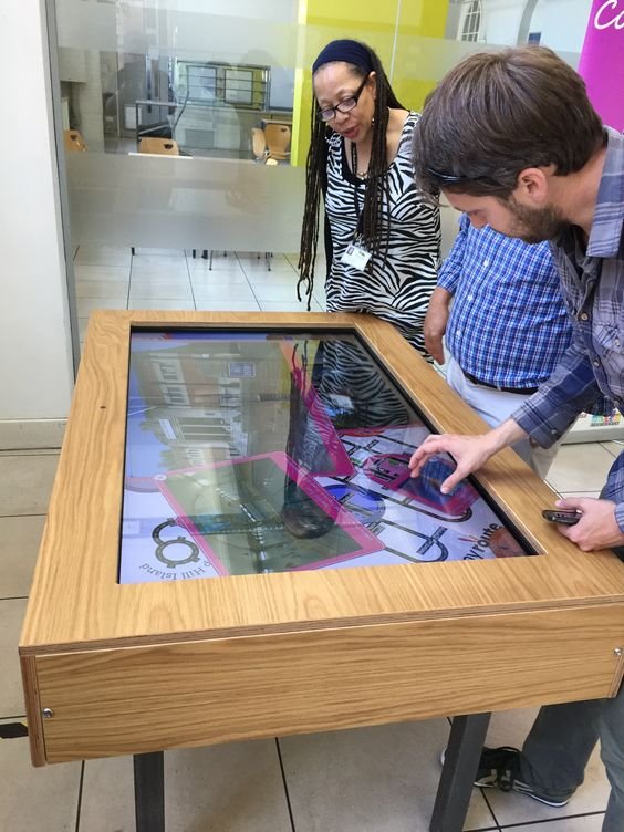
Once the road was mapped the client began sourcing the content - which included photographs, oral histories and text. There were then mapped onto the road, at the relevant location.
Designing the touchtable
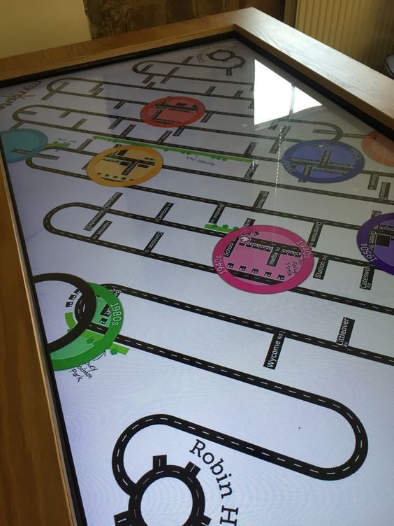
The Stratford Road is a long one - which provided a design challenge, How would we fit it onto a rectangle touchtable, whilst allowing enough detail for the audience?
After some user testing with local groups I settled on a snake’, approach with landmarks (parks and other streets) to allow for navigation.
I worked with a touch table developer to create the interface which showed a stylised version of the road, and various ‘lenses’ which related to a specific decade. Users would drag the lenses over the road to see the properties located there at that time.